


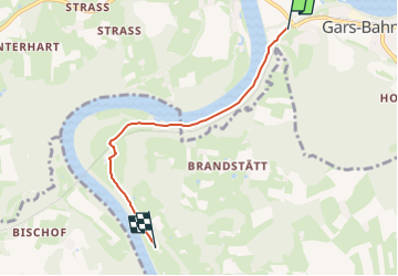

3,7 km | 4,3 km-effort

Tous les sentiers balisés d’Europe GUIDE+


Application GPS de randonnée GRATUITE
 SityTrail
IGN / Instituts géographiques
SityTrail World
Le monde est à vous
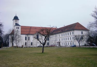
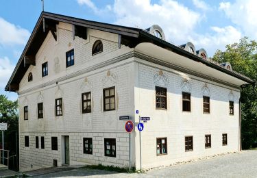
Randonnée A pied de 4,1 km à découvrir à Bavière, Landkreis Mühldorf am Inn, Gars am Inn. Cette randonnée est proposée par SityTrail - itinéraires balisés pédestres.
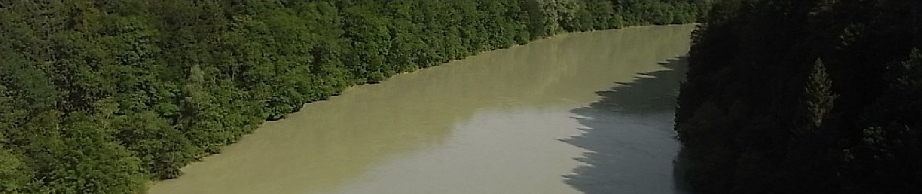
Symbole: Weiße Schilder mit rotem Wanderer, Richtungspfeil und der Aufschrift "Im Inndurchbruch"


A pied
A pied
A pied

A pied
A pied